
Greeley ZIP Codes and Their Uses
Official county, city, and USPS materials identify a core Greeley ZIP set plus older or secondary labels. The areas below are deliberately cautious. A ZIP code line can be associated with Greeley while the parcel sits outside the municipal boundary, and a current delivery assignment must be checked at the address level.
| ZIP | Greeley use or area clue | Postal label evidence | Research note |
|---|---|---|---|
| 80631 | Downtown, central, east, and north mailing addresses | Downtown Greeley USPS location at 925 11th Avenue | Verify each address with USPS |
| 80632 | Secondary or PO-box use in county records | Current sortation grouping with Greeley 80632 | Do not infer a neighborhood |
| 80633 | Secondary or older delivery designation | Historical Greeley grouping | Check current activity |
| 80634 | West, south, and newer Greeley delivery addresses | Main Greeley USPS location at 930 39th Avenue | Some addresses can cross city limits |
| 80638 | Historical or secondary Greeley label | Older USPS L606 grouping | Current assignment not directly confirmed |
| 80639 | Historical or secondary Greeley label | Older USPS L606 grouping | Verify before treating as current |
The current USPS L012 sortation file also groups 80615 and 80642 into a container labeled Greeley 80632, and groups 80633-80634 under Greeley 80634. Sortation is not the same as a citywide delivery boundary. The USPS City/State result and By Address result are the final checks.
Verify a Greeley ZIP With USPS
USPS offers three distinct lookup modes. ZIP by Address takes the street line and can use company, apartment, city, state, or ZIP fields. ZIP by City and State returns ZIP codes associated with a city name. Cities by ZIP returns the cities associated with a ZIP. USPS cautions that a ZIP result does not confirm that a person or company is located at the address.
The USPS City and State lookup shows the form used to verify the Greeley postal set.
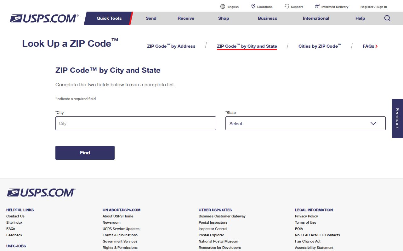
Run By Address when a real street line is available. Use City and State for a broad candidate list, then avoid drawing a neighborhood boundary from that list. A ZIP code is a delivery tool and may cover several jurisdictions or a special mailing use.
Greeley ZIP 80631 and Downtown
80631 is tied in the research to downtown, central, east, and north Greeley mailing addresses. The Downtown Greeley USPS location is listed at 925 11th Avenue with a 80631-9998 postal line. That is a useful location clue for a letter or directory entry, but it does not turn every 80631 record into a downtown parcel.
For a resident lookup, use 80631 as an input only when it belongs to the person's own record or the address being checked. For a parcel question, confirm the property or situs address in the Weld assessor and GIS. For an old record, retain the ZIP exactly as printed because the label may be historical.
Greeley ZIP 80634 West-Side Geography
80634 is tied to west, south, and newer Greeley delivery addresses in the research. The main Greeley USPS location is listed at 930 39th Avenue with a 80634-9998 line. The ZIP can still reach beyond the city line, so a 80634 mailing label should be checked against the county GIS jurisdiction layer.
When a source says Greeley but the parcel is in Evans, Garden City, Windsor, Kersey, or unincorporated Weld context, keep both labels. The postal city names the delivery route. The parcel map names the physical jurisdiction. Neither alone proves where a person lives.
Greeley ZIP 80632, 80633, and Older Labels
80632 appears in county mailing use and current USPS sortation groupings, but the research does not expose a safe neighborhood boundary for it. 80633 is documented as a secondary or older Greeley designation. 80638 and 80639 appear in older L606 groupings with Greeley and are useful when reading historical addresses, yet their current city-state status was not directly extracted.
The USPS ZIP Code basics page explains why a ZIP is not the same as a city boundary.
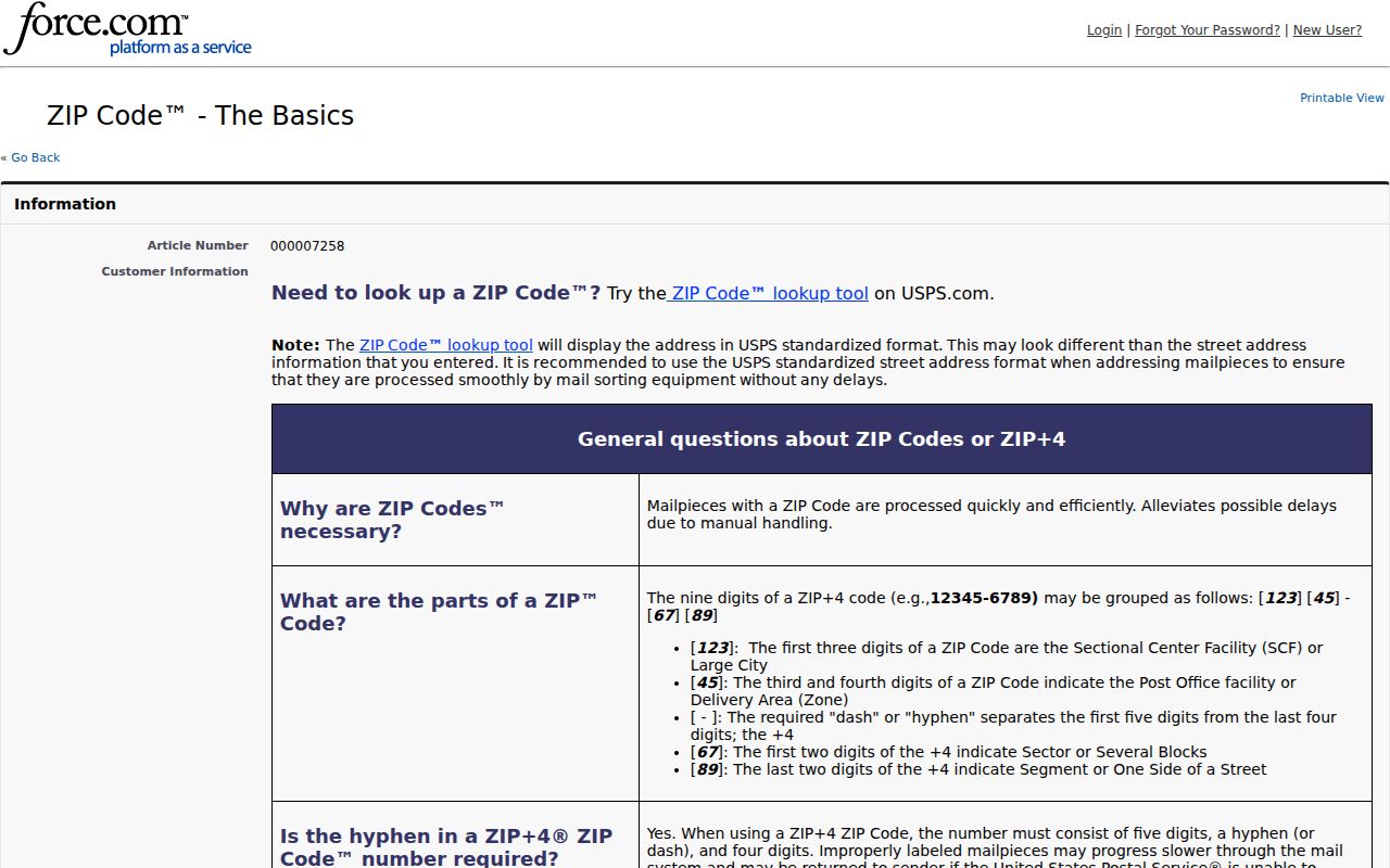
Use an older ZIP as a clue to search the period's newspaper, directory, deed, or postal record, then verify any present-day address through USPS. Do not silently remove a historical label or describe it as current without an address-level result.
Finding Greeley Records by ZIP Code
Most local portals do not offer a ZIP-wide resident browse. The voter lookup requires a ZIP as one identity field. The basic assessor form accepts an address string, account, parcel, subdivision, section-township-range, or API number but has no separate ZIP filter. Weld's foreclosure search does accept ZIP and street address. USPS verifies delivery; GIS verifies parcel and jurisdiction.
- Verify the address and ZIP through USPS By Address.
- Enter the street or account in Weld Property Search and save the parcel and legal description.
- Use GIS to check the parcel, boundary, precinct, and surrounding context.
- Use the voter form only for an authorized person match, not a ZIP-wide list.
- For a named street after the ZIP is narrowed, continue with the Greeley address directory workflow.
A foreclosure record can show a ZIP, grantor, current owner field, street, subdivision, status, and date ranges, but a foreclosure notice is not proof of current title or residence. Match the date and legal description before using it.
A ZIP code can also appear in a historical directory, voter report, deed, newspaper notice, or mailing address while the parcel has a different city label. Keep the source wording and date. If the postal line says Greeley but the GIS parcel is in another municipality, report both facts instead of forcing one geography to replace the other.
For a block or named street, move from the postal check to the parcel account. The assessor report separates the situs address from the owner's mailing address, and the GIS map can show a city or county boundary. The Weld parcel viewer is therefore a companion to the Greeley ZIP code directory, not a second postal database.
USPS AIS products update monthly, while assessor values update annually and foreclosure lists change weekly. A current result count or ZIP association should be stamped with the date it was viewed. That small habit matters when an old Greeley address is compared with a live portal.
Greeley ZIP Code Terms and ZCTA
Postal terms can look alike while describing different things. Keep the definition attached to the source so a statistical map is not mistaken for a delivery record.
- ZIP code
- A USPS delivery-area identifier used to route mail.
- ZIP plus four
- An added four-digit delivery refinement for a street segment, building, or unit.
- PO-box ZIP
- A ZIP used for post-office-box or mailing service, which may not outline a residential area.
- Unique ZIP
- A ZIP assigned to one organization or entity rather than a general neighborhood.
- ZCTA
- A Census statistical area built from blocks and USPS address information, not an exact delivery boundary.
The Census ZCTA guidance explains the statistical distinction.
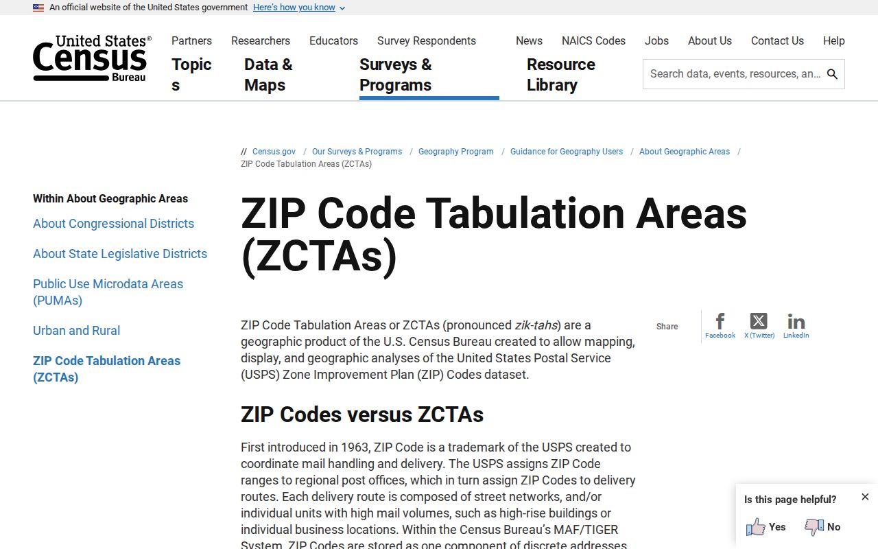
A ZCTA can support population or geography analysis, but a person or parcel search still needs the USPS and county records routes.
Greeley ZIP Data Changes Over Time
USPS AIS Viewer provides City and State, County Name Retrieval, Delivery Statistics, ZIP plus four retrieval, and Address Lookup products with monthly updates. The viewer does not permit export. That monthly cadence is useful for a current delivery check, while an old directory or deed needs the ZIP printed in its own year.
Do not compare live ZIP counts with an older directory as if the postal system were static. A city name, ZIP, rural route, or post-office label can persist in a record after the delivery assignment or municipal boundary has changed. Date the lookup and save the source mode.
The USPS AIS Viewer describes the address-quality products.
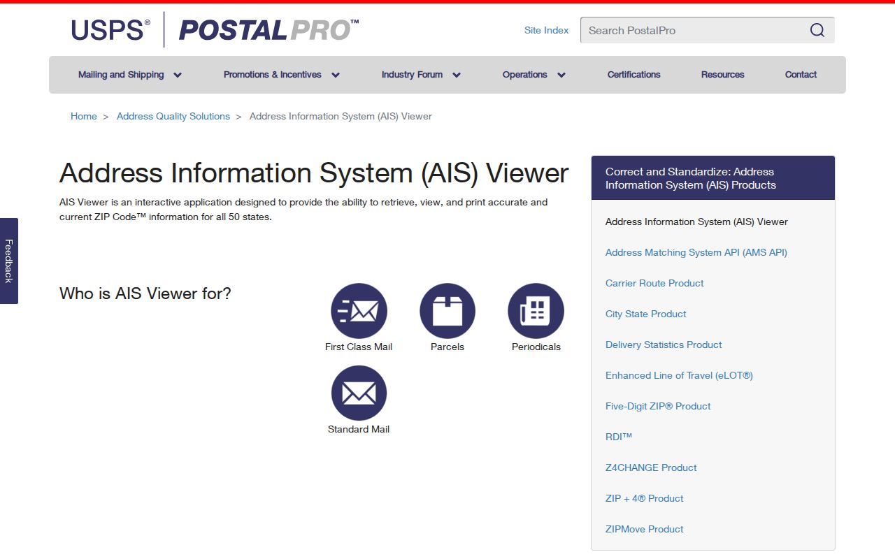
The screen illustrates why a ZIP result should be cited with its product and update date rather than treated as a timeless boundary.
Greeley ZIP Borders Are Not City Limits
USPS ZIP geography, Census ZCTAs, county parcels, and municipal lines answer different questions. A Greeley mailing city may point to a neighboring jurisdiction, while a parcel inside a city boundary can carry another postal label. Use the Weld GIS boundary and property layer, alongside Greeley's GIS maps, for the physical parcel, and USPS for the delivery address.
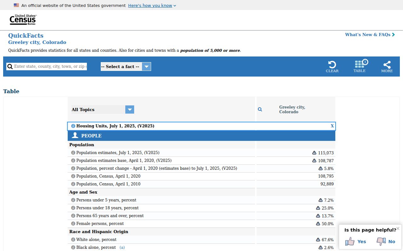
Census QuickFacts gives a dated population estimate and land-area context for Greeley, but a population table is not a resident directory and a ZCTA is not a list of households. The same rule applies to a ZIP: it narrows a search, but it does not identify everyone living there.
For a resident or address question, cite the postal result with the exact mode used, the full street line when available, and the date checked. Then cite the parcel or custodian record separately. This makes a ZIP code directory useful without overstating what postal geography can prove.
The Greeley Census QuickFacts page is a useful geography reference.
A postal match is a starting point, not the final identity check.
When the search concerns an older record, the printed ZIP belongs to that historical source and should remain visible beside the current verification.