
Greeley Neighbors Lookup Coverage
Each block source has a different scope. The parcel map describes geometry. The buffer report identifies properties within a measured radius. The assessor describes owners and mailing lines. A civic roster describes a public role. A voter record has its own public and protected fields. Use the narrowest source that answers the question.
| Source | What it shows about a block | Access |
|---|---|---|
| Weld GIS parcel map | Boundaries, roads, zoning, flood, election, and other layers | Free public viewer |
| 500-foot buffer report | Surrounding properties and property-owner report within a defined radius | Documented GIS workflow and PDF |
| Weld assessor report | Owner, mailing address, account, legal description, values, buildings | Free parcel report |
| Recorder index | Deeds, releases, plats, reception numbers, parties, dates | Free index; images and copies vary |
| City Code Compliance | Formal address, owner or violator, case, designation date | Visible current table |
| Civic rosters | Board, commission, term, and public meeting context | Public civic source |
| Voter data | Public name, address, party, status, and history fields under state rules | Lookup or request with limits |
| Local archives | Historical directories, newspapers, school, church, and community clues | Mostly onsite or collection-specific |
A defined-radius report is also easier to audit than an informal list. Save the starting parcel, buffer distance, report date, returned account numbers, and any source corrections. If a parcel is split, merged, exempt, or missing from a layer, ask the county GIS or Assessor rather than filling the gap with a guessed household.
The table separates a block's property layer from its community layer. An owner report does not name every neighbor, and a civic roster does not identify a person's home address.
Greeley Block Lookup: Parcel Buffer
The most repeatable Greeley neighbors workflow begins with the parcel. Open the Weld GIS Property Map, choose Identify Point, click the known parcel, and open the parcel information in the left sidebar. Select the blue Buffer control, continue while leaving the distance at 500 feet, wait for the analysis, and choose Run Report. A PDF link opens the surrounding-property-owner report.
- Confirm the starting address in Weld Property Search.
- Identify the same parcel on the GIS map.
- Run the 500-foot buffer and note the report date.
- Open each returned property account and separate situs from mailing address.
- Use the recorder or city source only when a deed, plat, case, or civic role needs checking.
The radius is a defined research choice. A small block may be easier to read on the map, while an application-grade surrounding-owner list should preserve the PDF and distance. The result is about properties and owners, not all people on a block.
Greeley Block Lookup Owner Report
Open each returned parcel in the assessor to see account, parcel, owner, owner mailing address, situs or property address, legal description, value, building, tax, and document-history fields. The mailing line can be outside Greeley or away from the parcel. It should not be labeled as neighbors' homes without another source.
For the deed layer, follow the reception number into EagleWeb. A recorded grantor or grantee may be an owner, lender, representative, trust, business, or other party to an instrument. A release or plat can show a property relationship without a change in household. Date every result and keep the legal description.
The Weld assessor search is the parcel-by-parcel check after the buffer report.
Greeley Block Lookup GIS Layers
GIS layers add context to a search for neighbors. Zoning and land-use layers can explain different planning areas. The Weld thematic map view shows how a layer can frame a parcel. Election and precinct layers show civic geography. Floodplain data can show a mapped hazard area, while road, oil-and-gas, emissions, enterprise-zone, and maintenance layers show other public attributes. A layer date matters because boundaries and map data can change.
The county GIS help route separates parcel and owner questions from roads, planning, and data downloads. Use the map to understand how properties touch, which street segment they face, and whether a Greeley mailing label crosses a city or county line. Do not treat a map symbol as a household fact.
The Weld GIS help page identifies the contacts for map questions and data requests.
Greeley Neighbors and Civic Contacts
Community information is a different layer for neighbors. The Neighborhood Resource Office and Long Range Planning work with resident groups, business groups, neighborhood plans, and local jurisdictions. The city describes Neighborhood Watch as a route for a neighborhood to form a group, identify block captains, and request a police-supported first meeting. It does not publish a complete private member list.
| Community route | What it can provide | Boundary or access limit |
|---|---|---|
| Neighborhood Resource Office | Resident-group and neighborhood contact route | Not a private member directory |
| Long Range Planning | Neighborhood plans and defined planning areas | Plan geography is not a household list |
| Neighborhood Watch | Block-captain and police-supported group route | Group formation does not publish every participant |
| Boards and commissions | Public roles, terms, meetings, and civic contacts | Roster membership does not prove a home address |
Recent city changes matter for in-person research. A February 2026 transition notice said the old City Hall at 1000 10th Street closed for transition and in-person services began at 1200 11th Avenue on March 2, while City Center North remained a mailing address. Use the current city department page before visiting.
The Greeley City Hall transition notice records that office-location change.
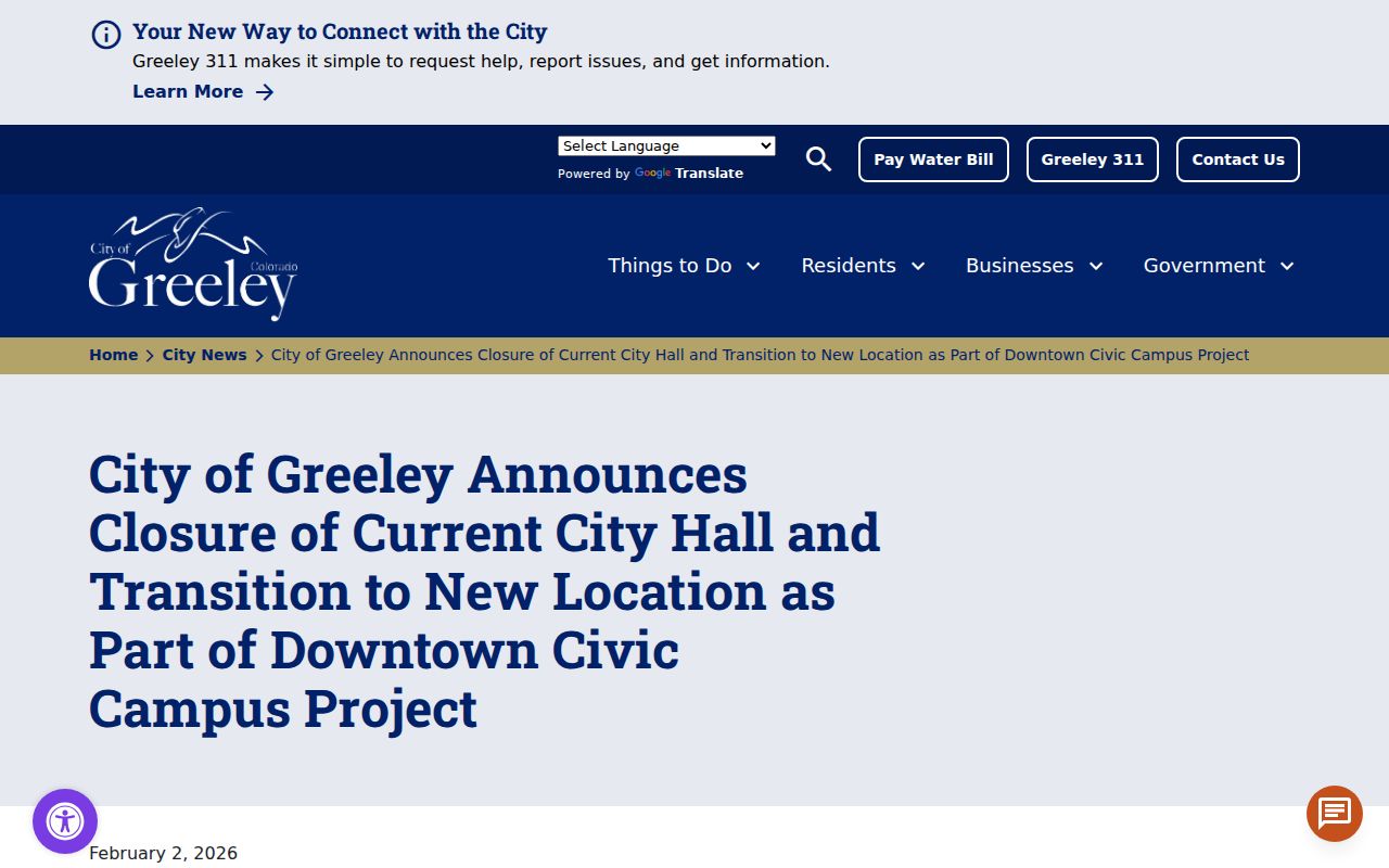
The notice is useful for records logistics, not for inferring who lives near either building.
The City of Greeley contact page is another route for service reports and public department contacts.
A nearby-request view can show civic activity in an area, but it is not a household roster and does not prove who submitted a report lives there.
Greeley Block Lookup Grants and Workshops
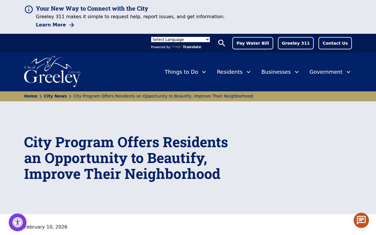
The 2026 Neighborhood Improvement Grant notice describes applications by neighborhoods, blocks, and HOAs through eTRAKiT. A point of contact must represent a defined area or authority, and support letters or meeting minutes can be part of the submission. That creates a public civic trail without turning the application into a household roster.
The Neighborhood Improvement Grant notice shows the block and neighborhood route.
An April 2026 City Savvy workshop also highlighted city services and neighborhood resources.
The City Savvy notice gives the workshop context.
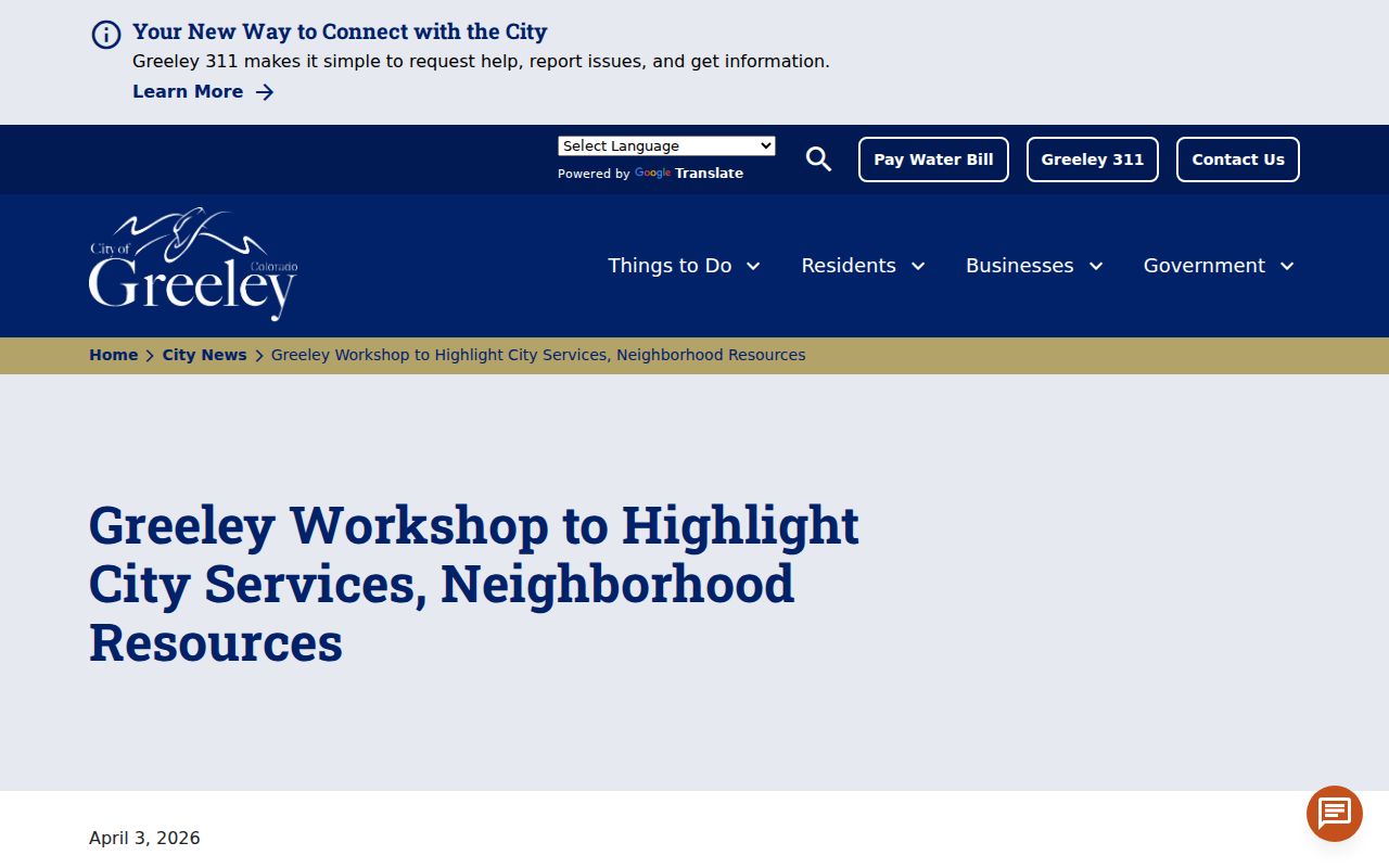
These notices document ways to participate or request help. They do not disclose every member, block captain, or household.
Greeley Neighbors Civic Rosters
Public boards and commissions can provide names, terms, meetings, and civic roles. Greeley's public roster route includes bodies such as Arts, Historic Preservation, Planning, Downtown, Disabilities, and Urban Renewal. A board member's public role is not evidence of a home address or a complete relationship among neighbors.
Use a civic roster to confirm an institution, a public contact, or a dated participation record. Use the parcel map and assessor for property context. Use the city clerk or department custodian when a public meeting or record request needs the official file.
The Greeley boards and commissions page is the official roster route.
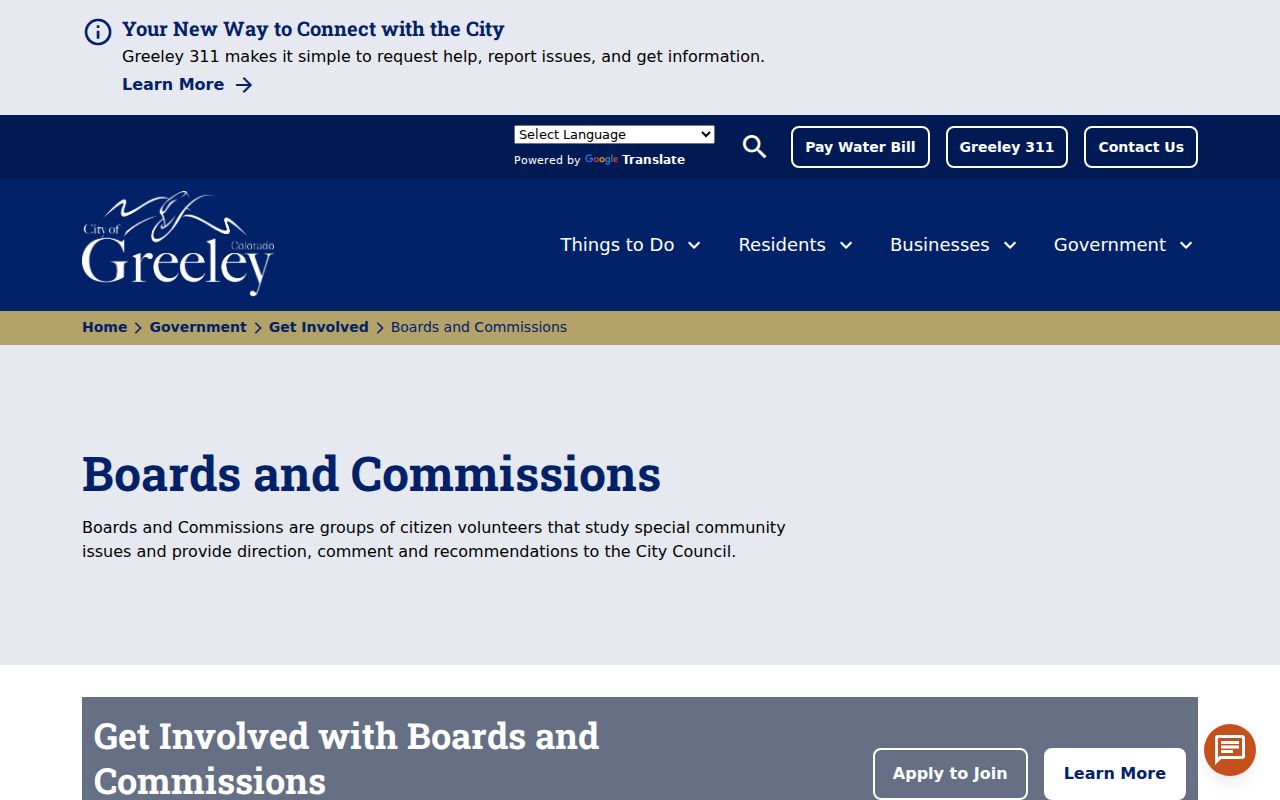
The roster screen illustrates the difference between public civic membership and a private neighborhood directory.
A public board roster can still help with a civic question. It may identify a person, board, term, meeting, or city contact, while the parcel map supplies the physical geography. Keep those records separate. A name on a planning or historic-preservation body does not establish that the person owns or occupies a nearby parcel.
The same caution applies to public voter fields. Colorado's voter FAQ describes name, residential address, party affiliation and date, supplied phone and gender identity, birth year, and prior-election participation as public fields, while full birth date, signature, email, Social Security number, and driver's-license number are confidential. The lookup screen is not a block roster, and protected voters may not display.
Greeley Neighbors HOA Snapshot
Greeley's 2015 HOA land-use assessment is a useful caution about community counts. It identified 86 registered HOAs, found 37 in city parcel data, and reported 29 expired plus 13 expired with land ownership. The city said it did not regulate these associations and did not have an accurate current total beyond state registrations.
Those figures belong to a dated assessment. They should not be presented as a current list of every Greeley HOA or as proof that a particular property belongs to an active association. Check the city, state, or association source for current status, and treat a private membership list as a separate access question.
| Community source | Safe use |
|---|---|
| Neighborhood plan | Understand a defined planning area and public priorities. |
| Neighborhood Watch route | Ask about forming or contacting a group. |
| HOA assessment | Understand a dated count and its limits. |
| Board roster | Confirm a public civic role and term. |
What a Greeley Search for Neighbors Cannot Show
Official parcel sources cannot reliably show unlisted occupants, household members, utility customers, delivery recipients, private group members, DMV addresses, or protected voters. The public voter lookup is not a street browse. The county buffer report lists surrounding property owners, not everyone living within 500 feet. A code case names a formal responsible party, not every person at the property.
| Source type | Official record | Compiled neighbor tool |
|---|---|---|
| Address basis | Parcel, legal description, or dated source | May combine stale address histories |
| Update control | Named custodian and stated cadence | Varies by provider and feed |
| Correction | Ask the assessor, recorder, city, or court | Opt-out may not amend the source |
| Privacy | Protected, confidential, and restricted fields apply | Coverage and handling differ |
Use the Greeley address directory for a whole named street, and keep a block-radius question focused on parcels, public layers, and lawful community contact. A public record can be accurate while still being too narrow to support a claim about neighbors.